World of Course
Deven Rue
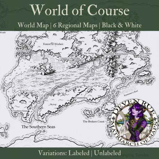


Price $7.99
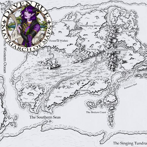
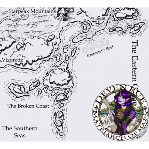
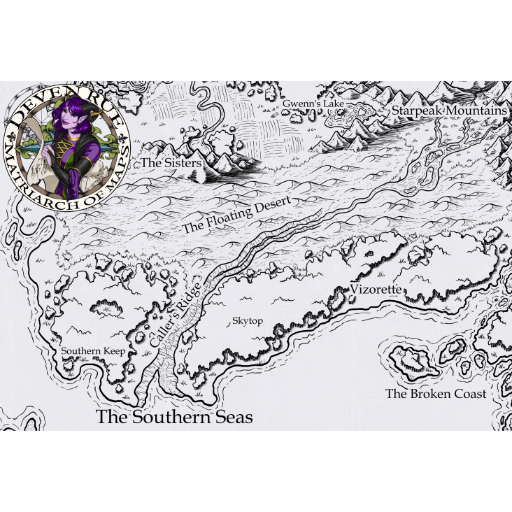
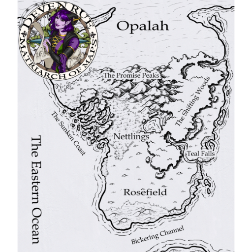
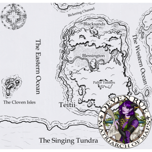
This is the map I created while recording the lessons for my cartography course (which you can still access here). It has versions both with and without names so you can add your own if you wish. Includes 7 maps: the full world map plus 6 regional maps to show greater detail.
Scale
The default scale for this map is 25 miles per square, making it 707 miles wide by 471 miles tall. Note that the scale varies for the regional maps due to their different sizes.
A note from Deven: Like most maps, this map is representational. They are there to provide markers to help you navigate from one point to another, to give an idea of the size of the world you're exploring, and to hint at what each area is like. Nothing is drawn to scale because if it were, there'd be very little detail and thus add very little to the story.
Alternate Images
This map pack includes two versions of each map:
- Text
- No Text
By default, each map will be set to the 'Text' version. However, if you would prefer to keep your maps unlabeled, you can simply click on the 'Load Map' icon, select Alternate Images, and then load the 'No Text' version.
Published 7/20/2024
Category Map Collection
Theme
Setting Any Setting
Storyline
Includes 14 Art, 7 Maps, 1 Encounters, 1 Books