Bundle: World Maps
Deven Rue
Price $23.99
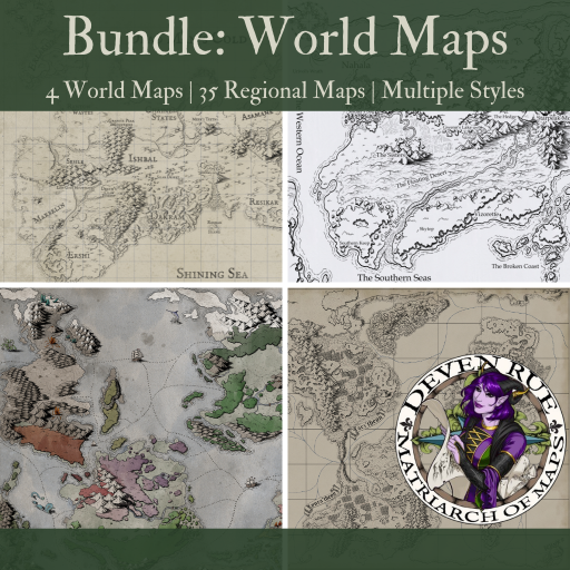
This bundle includes FOUR world maps, each complete with their own detailed regional maps, for a total of 39 distinct maps:
- Course
- Kroako
- Ortheiad
- Theon
Each map includes a built-in party token to easily track your players' location, as well as map pins linking to higher resolution maps of each of the major regions. These pins allow you to easily move from the world map to the regions, as well as from regions to other nearby regions.
See below for additonal details about each world map:
Course
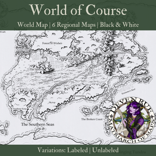
This is the map I created while recording the lessons for my cartography course (which you can still access here). It has versions both with and without names so you can add your own if you wish. Includes 7 maps: the full world map plus 6 regional maps to show greater detail.
Scale
The default scale for this map is 25 miles per square, making it 707 miles wide by 471 miles tall. Note that the scale varies for the regional maps due to their different sizes.
A note from Deven: Like most maps, this map is representational. They are there to provide markers to help you navigate from one point to another, to give an idea of the size of the world you're exploring, and to hint at what each area is like. Nothing is drawn to scale because if it were, there'd be very little detail and thus add very little to the story.
Alternate Images
This map pack includes two versions of each map:
- Text
- No Text
By default, each map will be set to the 'Text' version. However, if you would prefer to keep your maps unlabeled, you can simply click on the 'Load Map' icon, select Alternate Images, and then load the 'No Text' version.
Kroako
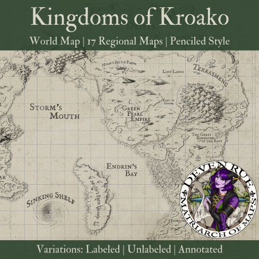
A "penciled" map drawn of the world of Kroako with expedition notes. Available with notes, without notes, and without text to add your own town/city names. Perfect for DMs to drop their stories in without having to fuss to find a map or change names to fit a pre-made map! Includes 18 maps: the full world map plus 17 regional maps to show greater detail.
Scale
The default scale for this map map is 25 miles per square, making the world map 892 miles wide by 485 miles tall.
Alternate Images
This map pack includes three versions of each map:
- Labelled (Default)
- Unlabelled or No Text
- Annotated
By default, each map will be set to the Labelled version. However, if you would prefer to keep your maps unlabelled, you can simply click on the 'Load Map' icon, select Alternate Images, and then load the 'No Text' version.
The annotated version includes fun and interesting additions that are completely optional to include.
Ortheiad
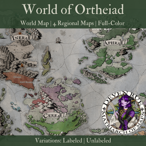
A full color in-world map ready for your players to explore as is or add your own town/city names! Beautifully colored, and hand-drawn to give a rich immersive feel. Perfect for DMs to drop their stories in without having to fuss to find a map or change names to fit a pre-made map! Includes 5 maps: the full world map plus 4 regional maps to show greater detail.
Scale
The default scale for the world map is 50 miles per square, making it 1,157 miles wide and 857 miles tall. Note that the scale varies for the regional maps due to their different sizes.
Alternate Images
This map pack includes two versions of each map:
- Text (Default)
- No Text
By default, each map will be set to the Text version. However, if you would prefer to keep your maps unlabeled, you can simply click on the 'Load Map' icon, select Alternate Images, and then load the 'No Text' version.
Theon
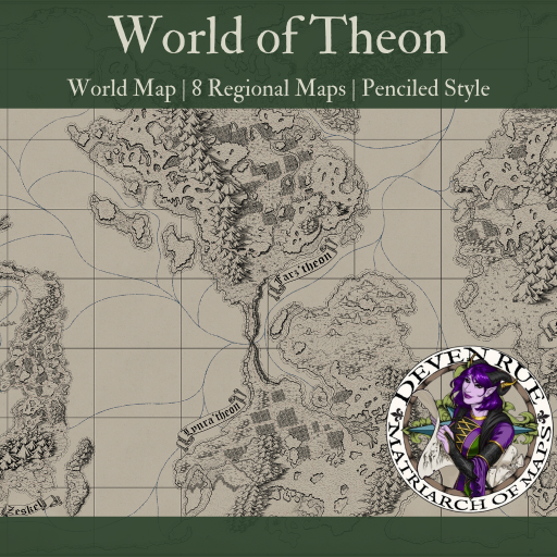
A beautifully hand-drawn map of the fictional world of Theon! This map is highly detailed and sure to make your players want to explore! Includes 9 maps: the full world map plus 8 regional maps to show greater detail.
Pins
The world map includes pins linking to the various regional maps, each of which also includes pins linking to the adjacent regions, for ease of navigating between maps.
These pins can only be used by the GM to navigate between maps, and by default, are hidden from players' view. By clicking on a pin, you can set it to display for players, but they are still unable to use them to navigate to other maps.
Scale
The default scale for this map is 50 miles per square, making it 1,414 miles wide by 907 miles tall.
Published undefined
Category Map Collection
Theme
Setting Any Setting
Storyline
Includes 95 Art, 39 Maps, 4 Encounters, 4 Books